Introduction
This scenic hike connects two beautiful Bavarian lakes - Schliersee and Tegernsee - offering stunning alpine views. The trail features:
- Distance: 12.5 km
- Elevation gain: 650 m
- Duration: 4-5 hours
- Difficulty: Moderate
Trail Highlights
Starting at Schliersee
The hike begins near Schliersee train station, with clear signage pointing towards Neureuth.
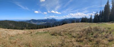
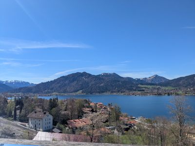
Neureuth Panorama
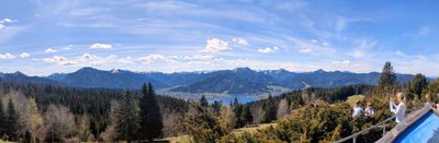
After a steady climb, you'll reach Neureuth with breathtaking views of both lakes.
Kreuzbergalm Stop
A perfect lunch spot at Kreuzbergalm, serving traditional Bavarian food.

The outdoor seating area offers spectacular mountain views while you eat.
Trail Markers and Signs
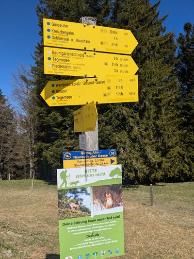
Clear signage throughout the hike makes navigation easy.
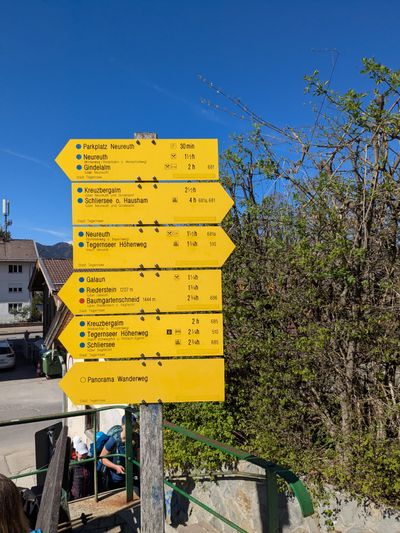
The trail begins with information boards about the route.
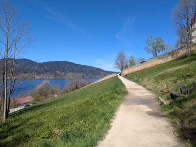
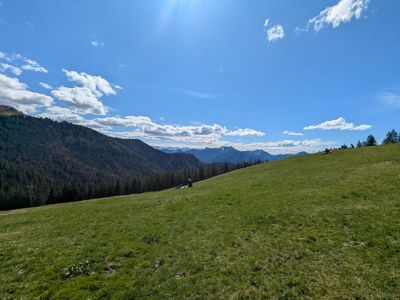
Scenic Views
First glimpses of Tegernsee lake during the descent.
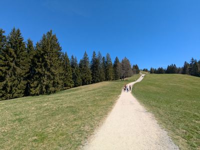
Typical trail conditions showing well-maintained paths.
Logistics
Getting There
- Train from Munich to Schliersee (~50 minutes)
- Return from Tegernsee to Munich (~1 hour)
What to Bring
- Sturdy hiking shoes
- Water (2L recommended)
- Weather-appropriate clothing
- Snacks or plan to eat at Kreuzbergalm
Personal Experience
The hike offers incredible variety - from lakeside paths to alpine meadows. The view from Neureuth was particularly memorable, with both lakes visible on a clear day.
Tips & Recommendations
- Start early to avoid crowds
- Check weather forecast - the trail is exposed in sections
- Bring cash for the mountain hut
- Consider extending to hike around Tegernsee after